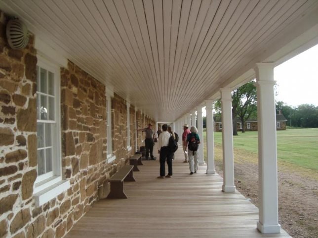
Though it traverses five states, follow the Santa Fe National Historic Trail from Franklin, Missouri, to Santa Fe, New Mexico, and you'll find adventure and evidence of past travelers who made this remarkable trip before you! Take out the Council Grove map and show a map of the actual Santa Fe Trail since we do not have one particular site and the Trail covers 1203 miles across 5 states.
Between 1821 and 1880, the Santa Fe Trail was primarily a commercial highway connecting Missouri and Santa Fe, New Mexico. From 1821 until 1846, it was an international commercial highway used by Mexican and American traders. In 1846, the Mexican-American War began. The Army of the West followed the Santa Fe Trail to invade New Mexico. When the Treaty of Guadalupe Hidalgo ended the war in 1848, the Santa Fe Trail became a national road connecting the United States to the new southwest territories. Commercial freighting along the trail continued, including considerable military freight hauling to supply the southwestern forts. The trail was also used by stagecoach lines, thousands of gold seekers heading to the California and Colorado gold fields, adventurers, fur trappers, and emigrants. In 1880 the railroad reached Santa Fe and the trail faded into history.
You can visit many sites of the Santa Fe National Historic Trail over the 900-mile historic route. Please use the Places to Go and Maps web pages to access site-specific information.
Contact Information
1349 K-159 Hwy
Larned, KS 67550
Phone: 620-285-2054
Location Type
Kid-friendly
Interpretive Signs
Natural Area
Driving Tours
Site Info
Parking
Wheel Chair Accessible


